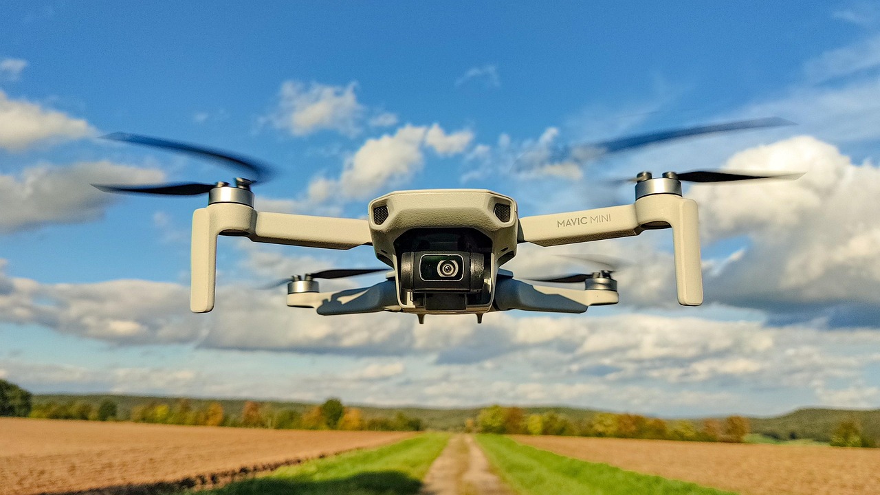
In Kenya’s fast-evolving property market, one innovation is changing how buyers see homes, land, and investment opportunities — drone real estate Kenya. Aerial imaging has become a powerful tool for property marketing, land mapping, and development planning. With panoramic visuals, accurate mapping, and immersive video tours, drones are transforming how developers, agents, and homebuyers experience real estate — especially in Nairobi and its rapidly growing suburbs like Westlands, Kitengela, and Ruiru.
The New Eye in the Sky: What Drone Footage Brings to Real Estate
Traditional photography can show what a house looks like — but drone footage reveals where it lives. Through sweeping aerial shots, potential buyers can see property boundaries, neighborhood layout, access roads, and nearby amenities — information that is critical to decision-making.
For instance, drone footage Nairobi gives buyers a complete picture of prime residential zones like Kileleshwa, Lavington, and Westlands, showing the proximity to malls, schools, and green parks. According to data from Kenyan real estate portals, listings with aerial photos or drone videos receive up to 60% more views than listings with static ground shots. This increase in engagement translates directly into faster inquiries and higher conversion rates.
Read Also: Silent Cities: How Gated Communities Are Changing Kenya’s Social Fabric
Mapping Undeveloped Land: Precision Meets Efficiency

When it comes to undeveloped plots, drone mapping Kenya is changing how investors evaluate land. Instead of relying on outdated surveys or verbal descriptions, drones produce orthomosaic maps, 3D models, and Digital Elevation Models (DEMs) that provide centimeter-level accuracy. Developers can identify slopes, natural water paths, and vegetation cover before breaking ground.
Aerial mapping also helps resolve one of Kenya’s biggest real estate challenges — land boundary disputes. With drone-generated maps overlaying official land records, buyers can verify the exact position and size of their parcels. This process reduces litigation risks and protects investors from fraud. In areas like Athi River, Kamulu, and Joska, drone mapping is increasingly used by land-selling companies to build buyer confidence and improve transparency.
Regulatory Reality: Drones are Legal — But Must Be Licensed
The Kenya Civil Aviation Authority (KCAA) classifies drones as aircraft under the Civil Aviation (Unmanned Aircraft Systems) Regulations. This means any commercial use, including aerial property marketing in Westlands or any other part of Nairobi, must be conducted by licensed operators. The drone and its pilot must be registered, and operations must comply with airspace safety rules.
For developers and agents, this legal clarity is good news. It professionalizes the industry, ensures quality, and protects clients. Always ensure that your service provider is KCAA-certified, insured, and trained in both aerial photography and survey procedures.
Why Nairobi Developers Are Investing in Drone Real Estate
- Higher Buyer Engagement – Listings with aerial visuals get more clicks, longer viewing times, and stronger buyer trust.
- Faster Sales Turnaround – Agents report up to 30% shorter sale cycles for properties marketed using aerial footage.
- Improved Transparency – Drone imagery verifies project progress, site accessibility, and surrounding developments.
- Marketing Versatility – The same footage can be repurposed for social media ads, YouTube showcases, and investor presentations.
- Data for Design and Planning – Developers use drone-generated data for topography, drainage, and infrastructure planning before breaking ground.
Even established real estate firms in Nairobi are leveraging drones to showcase entire gated communities, industrial parks, and mixed-use developments. Westlands, Upper Hill, and Karen have seen some of the most visually compelling campaigns in recent years — a trend that’s rapidly spreading to emerging areas like Thika Road, Ngong, and Syokimau.
Read Also: Establishing a meaningful tradition, Celebrating Loyalty — A Tribute to You, Our Esteemed Client
Real Data, Real Impact

A 2023 report by the Africa PropTech Association found that over 40% of new real estate listings in Nairobi now include drone-based content — up from just 12% in 2019. The same report notes that drone visuals have increased international investor engagement, especially among diaspora buyers who cannot physically tour sites. Developers showcasing projects through aerial reels on platforms like Instagram and YouTube report higher inquiries from potential investors abroad.
Additionally, construction firms have adopted drones for project progress documentation, allowing investors to monitor developments in real time without traveling to Kenya. For large-scale developers, drone mapping saves both time and money by cutting field survey costs by up to 50%.
Choosing the Right Drone Service Provider in Kenya
For professional-grade output, it’s not enough to hire someone with a drone — you need certified expertise. Reputable providers in Nairobi combine cinematography skills with GIS (Geographic Information System) knowledge to deliver both artistic and technically accurate imagery. The right provider should offer:
- 4K stabilized video and high-resolution stills
- Georeferenced orthomosaic maps
- 3D property models or digital terrain data
- Proof of KCAA licensing and insurance coverage
As Willstone Homes, we always recommend engaging qualified drone professionals who understand Kenya’s terrain, lighting, and compliance requirements. The result is more than just beautiful shots — it’s verified data that supports informed property decisions.
The Future: Sky-High Standards for Property Marketing in Kenya
The rise of drone real estate Kenya reflects a shift from static property marketing to dynamic storytelling. Aerial imaging provides transparency, builds trust, and highlights the true value of land and housing developments. In a market where buyers are increasingly tech-savvy and demand proof of authenticity, drones have become the ultimate credibility tool.
From the skies above Westlands’ high-rises to the open plains of Machakos County, aerial technology is setting a new benchmark for visibility and trust in Kenya’s property market. And as drone laws mature and equipment becomes more affordable, the future of real estate marketing in Kenya will be nothing short of breathtaking — literally.